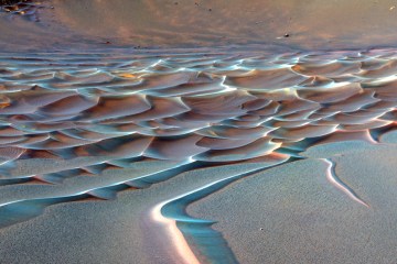
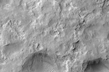
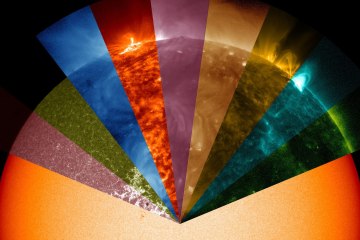
The lidless eyes of the satellites circle the Earth, looking down upon the surface. The images that satellites like the U.S. Geological Survey’s Landsat 7 become instant feedback about our effect on the planet, how the Earth is shaped by processes both human and natural. But as this collection of photos from an exhibition at the Library of Congress in Washington shows, satellite image can be made into art as well. Band combinations and shades in these Landsat images were optimized to dramatize their appearance, to show off the colors and the contrasts of the Earth. The result is breathtaking.
The Earth as Art: Satellite Images of Our Planet from Orbit
USGA / NASA
MALASPINA GLACIER- The tongue of the Malaspina Glacier, the largest glacier in Alaska, fills most of this image. The Malaspina lies west of Yakutat Bay and covers 1,500 sq m.

